Controlled-Source AMT (CSAMT)
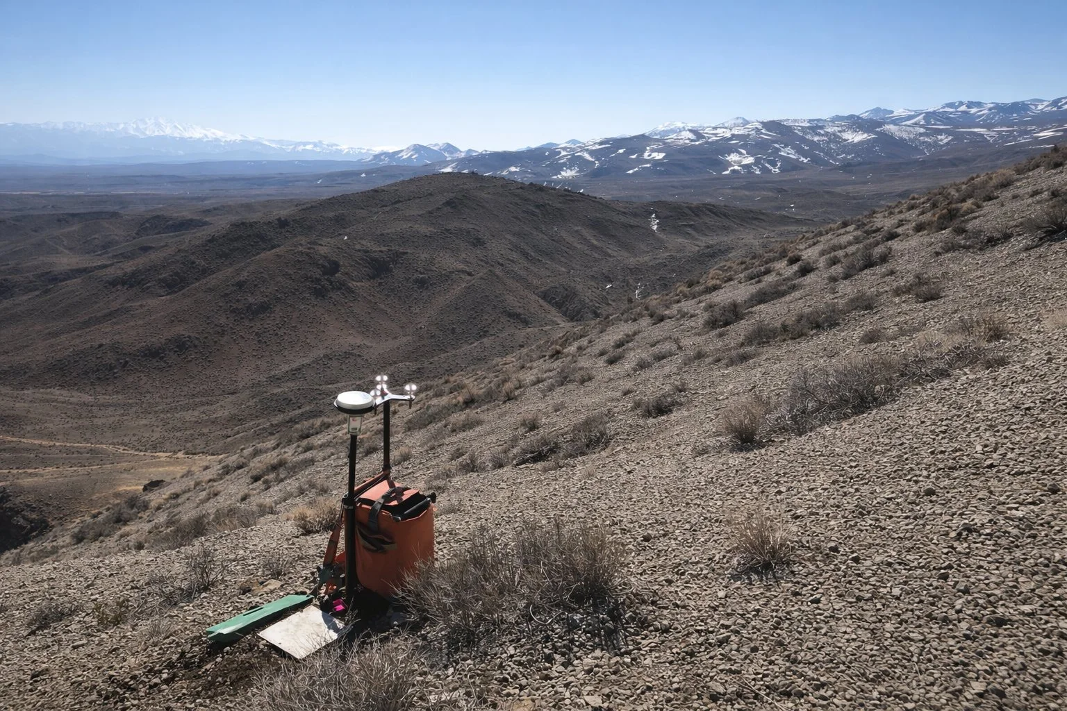
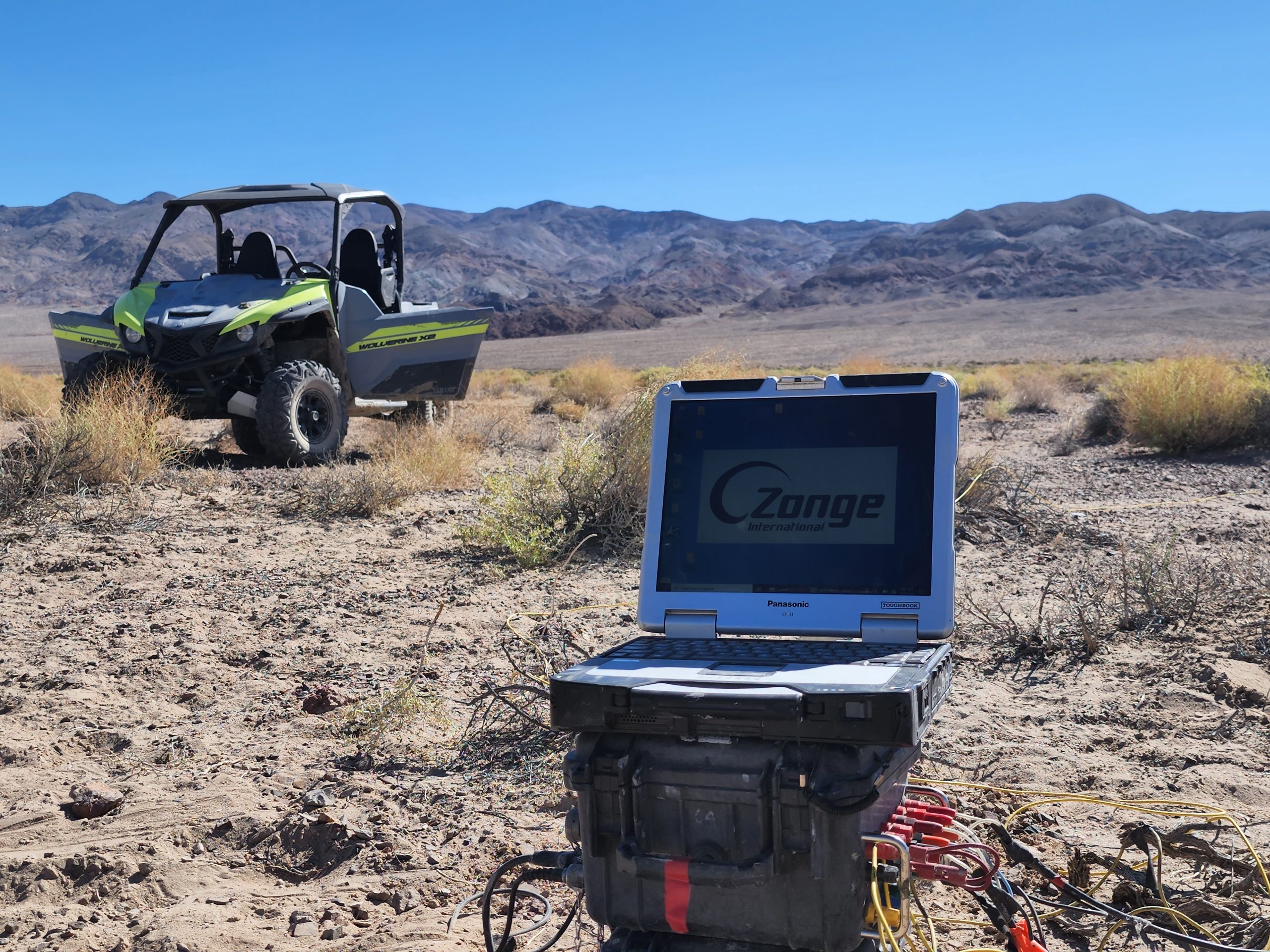
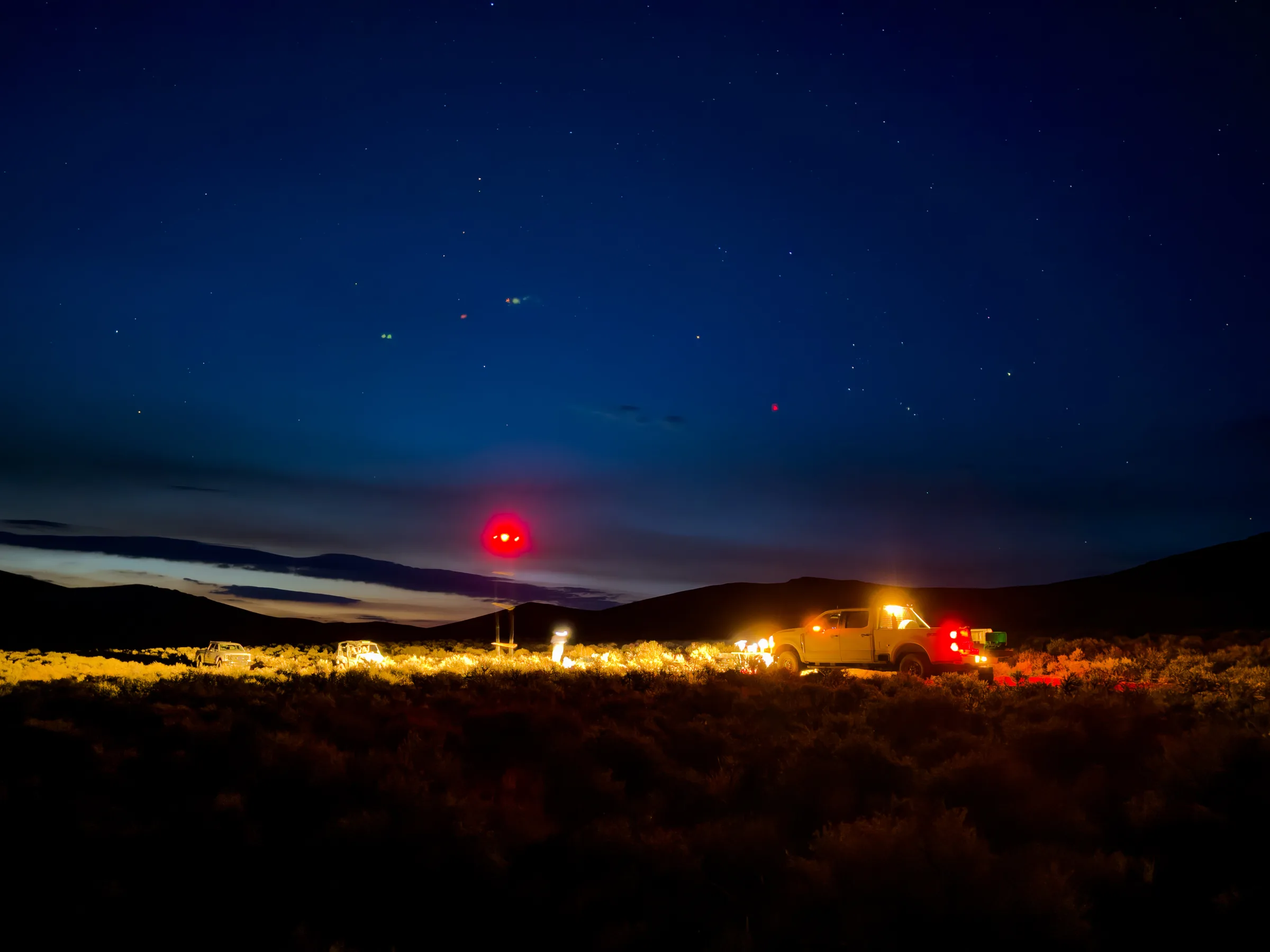
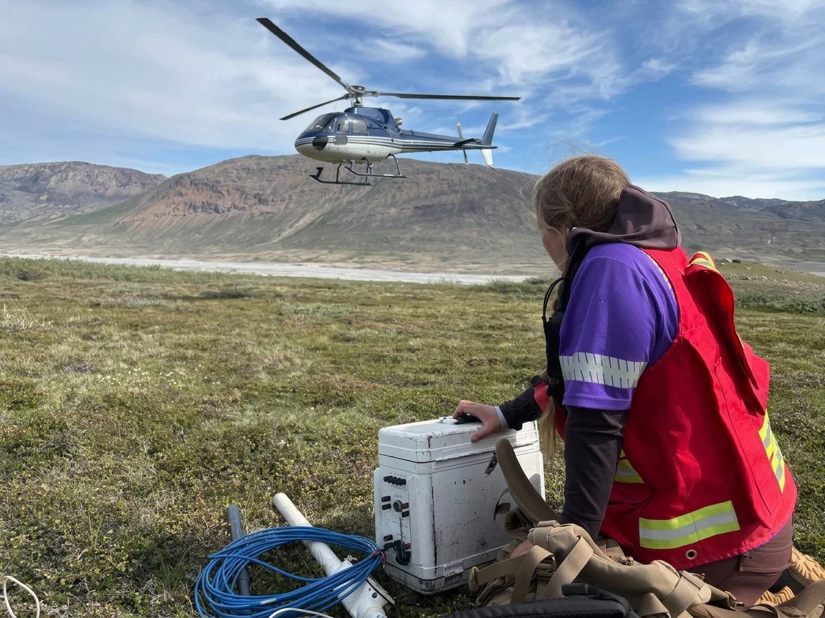
Controlled-source audio magnetotellurics (CSAMT) measures the resistivity of the Earth by transmitting a controlled signal from a distant grounded dipole and …
Zonge applies electrical, electromagnetic, magnetic, and gravity methods to image subsurface geology and support exploration decisions.
Controlled-source audio magnetotellurics (CSAMT) measures the resistivity of the Earth by transmitting a controlled signal from a distant grounded dipole and …
Gravity surveys map subsurface density contrasts for structural geology, basin characterization, void detection, and exploration targets.
An IP survey is produced by injecting current into the ground and measuring the change in voltage with respect to time (TD) or a lag in phase between the …
Magnetotellurics (MT) is a passive electromagnetic method that uses naturally occurring electric and magnetic fields to image subsurface resistivity structure …
A transient electromagnetic (TEM) survey generates a controlled electromagnetic field by transmitting current through a loop and measuring the decaying …
UAV magnetic surveys provide efficient, high-resolution mapping of magnetic contrasts, structures, alteration, and buried infrastructure.
© 2026 Zonge International. All rights reserved.